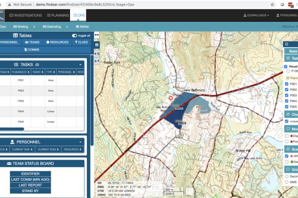
Find lost subjects faster
Search theory is proven to direct search teams to the most likely areas lost subjects will be found. FIND combines all the best modern search theory and subject profile statistics into a software package that calculates and tracks probabilities for you so you can spend your time managing the search.
By combining search theory with search management support and task mapping, FIND helps you start searches faster so you can end searches faster.
Custom Topographical Map
Several years ago, the standard 7.5’ USGS topographical maps underwent a revision that removed many of the map features SAR teams rely on. Our team rebuilt the topography from the ground up using the best data from national, state, and local sources to provide up-to-date information in a familiar design. The result was TotalTopo. For more information, check out our blog post on map design.


